Abstract: Natural Disaster Management (NDM), such as for wildfires and floods, can be significantly enhanced through automated, precise semantic 3D mapping and disaster evolution prediction, enabling near-real-time decision-making. This requires the analysis and fusion of heterogeneous extreme data sources, including smart drone sensors (e.g., RGB, RGBD, thermal cameras, Lidars), emergency vehicle sensors, in-situ sensors (smoke, moisture, water flow meters), meteorological data, remote sensing data, topographical information, and geosocial media (text, images, videos).
The main focus is on: a) efficiently managing such a diverse and mobile sensor network, including intelligent sensor placement, and b) analyzing the resulting extreme data—characterized by varying resolution, large volume, high update rates, and different spatiotemporal properties. Extreme data analytics can enable a cutting-edge NDM platform for real-time semantic extraction from multiple data sources, dynamic 3D disaster area mapping, disaster evolution prediction, and enhanced communication between service providers and users via automated responses and recommendations.
Semantic analysis can be distributed across the edge-to-cloud continuum in a federated manner, reducing latency. AI and explainable AI (XAI) approaches can ensure trustworthy and transparent extreme data analytics. The continuously updated 3D map and disaster evolution predictions will support an advanced Extended Reality (XR) interface, allowing dynamic simulation and evaluation of different response strategies by NDM personnel. This scalable platform will provide precise NDM support powered by extreme data analytics.
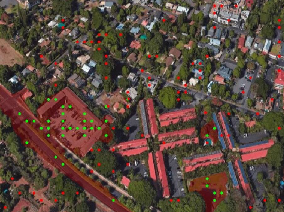
Figure 1: Areal image similarity map.
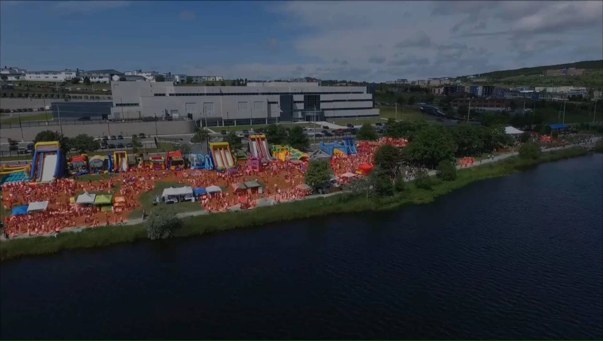
Figure 2: Segmentation of crowd area.
Sensing-and-big-data-analysis-for-Natural-Disaster-Management-v4.2

