Abstract: Climate change has increased the frequency and severity of flooding, presenting significant challenges for Natural Disaster Management (NDM). Effective emergency response depends on the timely detection of flooded areas and critical objects. Advanced Deep Neural Networks (DNNs) are applied for flood region segmentation and object detection, specifically focusing on persons, vehicles, and house roofs in high-resolution drone imagery. Drones offer real-time data acquisition over extensive and inaccessible areas, capturing the dynamic nature of floods. For object detection, state-of-the-art models like YOLOv6 and DETR are utilized to accurately identify essential objects. For flood region segmentation, PSPNet and CNN-I2I are examined for their effectiveness in segmenting and mapping submerged areas. Performance metrics such as mean Average Precision (mAP) and Intersection over Union (IoU) are used to evaluate model effectiveness comprehensively. The results underscore the potential of integrating drone technology with deep learning to enhance NDM strategies, enabling rapid decision-making and reducing the impacts of flooding events.
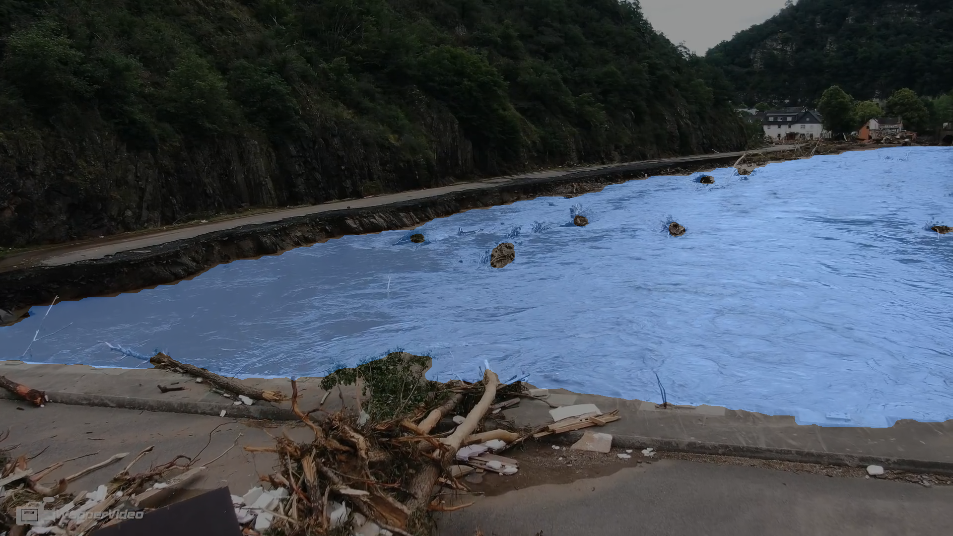
Figure 1: Flood segmentation.
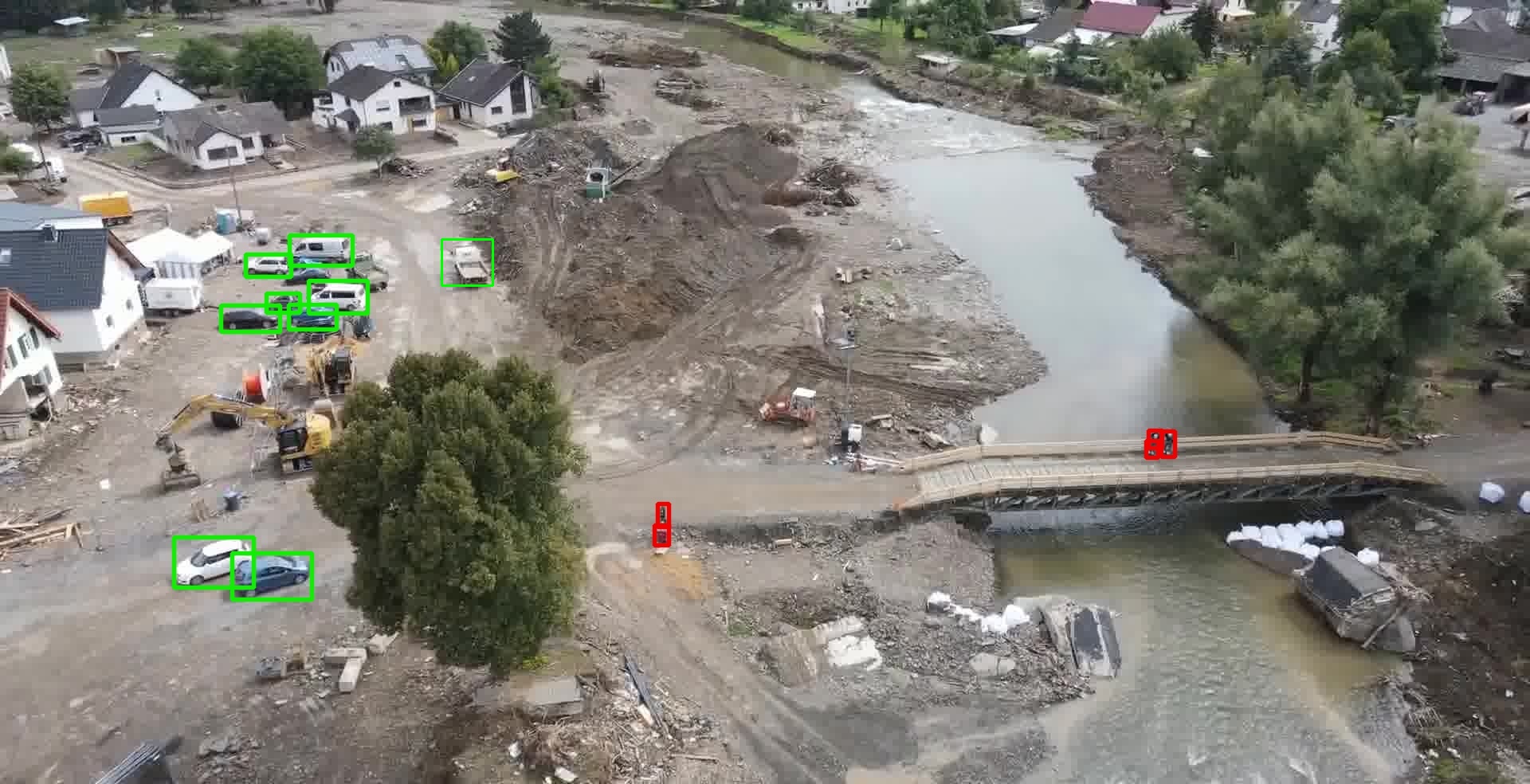
Figure 2: Person and car detection.
Flood-Image-Analysis-v3.1

